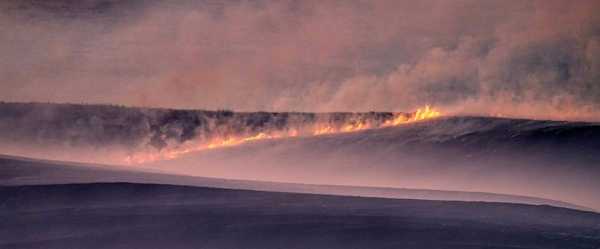
A long line of quick-moving thunderstorms that produced a swath of damaging wind gusts across northern Texas and Oklahoma late Sunday likely qualified the event as a derecho, although that’s not an official designation, said Nolan Meister, a meteorologist with the National Weather Service.
“Last night we had a prolific squall line come through,” Meister said, noting that a wind gust as high as 114 mph was recorded in Texas, with gusts between 70 and 90 mph in central Oklahoma.
Some information on derechos:
WHAT IS A DERECHO?
A derecho is often described as an inland hurricane because of the strength of its winds.
According to the National Weather Service, the term comes from the Spanish word “derecho” to mean “direct” or “straight ahead" and was first used in 1888 by a chemist and professor of physical sciences.
The storm has no eye, and its powerful winds come across in a line. That can cause widespread overall damage and smaller pockets of severe damage.
Ryan Maue, a private meteorologist in the Atlanta area and a former chief scientist for the National Oceanic and Atmospheric Administration, said a derecho can develop from a series of separate storms, usually carrying hail and strong winds, that combine and build into a larger bowing complex.
The term “bow” describes how it appears on radar.
When that happens, the system “can subsist on its own, it will continually fuel itself,” Maue said. “It can cause tremendous damage with straight-line winds.”
HOW OFTEN DO THEY OCCUR?
Derechos are relatively rare events, and in the U.S. are more likely to occur in the Corn Belt, an area that ranges from Minnesota and Iowa south and eastward toward the Ohio Valley, according to the National Weather Service.
They’re more likely to occur from May through August, particularly during periods of high heat.
“The climatology of derechos depends on the location and season, but if you consider the entire US (east of the Rockies), then you'll usually see one or two, possible more per year depending upon the weather patterns,” Maue said.
WHAT DAMAGE CAN IT CAUSE?
A 2020 derecho that traveled from eastern Nebraska across Iowa and parts of Wisconsin and Illinois reached wind speeds of a major hurricane. The National Weather Service's Storm Prediction Center reported winds approaching 100 mph (161 kph) in places. In Cedar Rapids, Iowa, residents emerged from their homes to find an estimated 100,000 trees had been snapped or torn out of the ground.
A 2009 storm dubbed a Super Derecho by the National Weather Service traveled from western Kansas to eastern Kentucky. It caused several deaths and injuries and more than $500 million in damages by the time it had traveled more than 1,000 miles (1,600 kilometers).
A 2003 derecho traveled from Arkansas through several southern states, including Alabama, Georgia and South Carolina. Two people died and 11 were hurt.
In December 2021, a derecho in the Great Plains and Upper Midwest spawned at least 45 tornadoes, caused widespread damage and killed at least five people. It was the first on record in December in the United States.
ARE THERE DIFFERENT TYPES OF DERECHOS?
Yes. The August 2020 storm system was the result of what is known as a progressive derecho. The December 2021 event was a serial derecho.
The weather service said a progressive derecho is fueled by a hot and moist environment with relatively strong winds aloft. Serial derechos are produced by storms with strong winds that bow outward, the service said. They sweep across an area both long and wide, driven by the presence of very strong winds in the atmosphere.
Sourse: abcnews.go.com


