Scientists at the Plekhanov Russian University of Economics (PRUE) have developed a non-scale computer environment for rendering real and artificial landscapes. The experts said the system can be used to render geometric modelling of landscapes, planetary systems, buildings, and many other objects, the university’s press service reported.
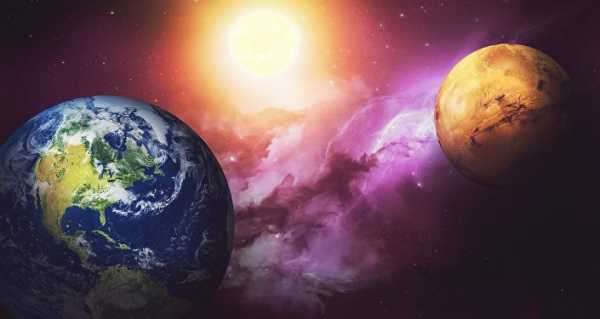
According to PRUE scientists, the developed system can visualise objects of any size – from microscopic to supra-galactic – as there are no restrictions on the real geometric dimensions of the objects modelled. Furthermore, the computer environment features free navigation between different scale levels, like allowing you to take a “walk” along the ocean shore or “view” it from space.
According to him, the system can already produce static images, record video clips, and perform intelligent data analysis.
The researchers believe the geometric modelling system can be used to create digital twins, to analyse, and optimise logistics solutions, and to apply it to resource management tasks.
The authors of the study said the geometric modelling programme currently contains tens of thousands of lines of code. The non-scale environment is built on the .NET platform using the C# programming language.
In the future, the researchers plan to launch the system for general use.
The author of the project is Timur Zhukov, a researcher at the Laboratory of Artificial Intelligence, Neurotechnology, and Business Analytics at the Plekhanov Russian University of Economics.
Sourse: sputniknews.com