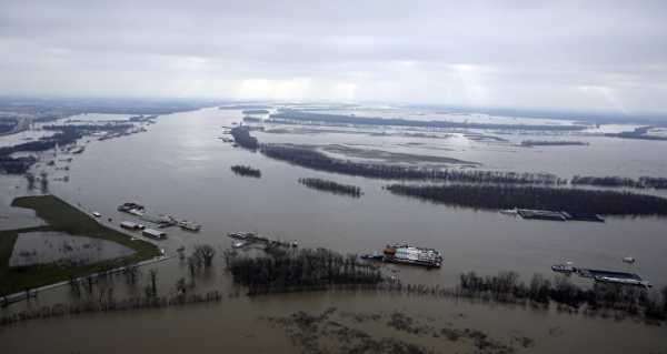
While the study did detect areas where human activity may be affecting the colour of some rivers, these changes may not necessarily be permanent.
Having examined some 235,000 satellite images taken between 1984 and 2018 via Landsat, a joint-programme between NASA and the US Geological Survey, a team of scientists has established that a third of the rivers in the United States have exhibited a significant change in colour over the last three and a half decades, Live Science reports.
According to the media outlet, over half of the images in question displayed rivers “with a dominant hue of yellow”, a third of the images “were mostly green”, and only 8 percent of the river pictures turned out to be “mostly blue”.
During the course of their study, the research team collected “16 million measurements” over the 34-year period on about 108,000 kilometres of rivers over 60 meters wide in the United States.
With a river’s coloration usually being determined by the “amount of suspended sediment, algae, pollution or dissolved organic matter in the water”, the media outlet notes that river water tends turn green “as more algae blooms, or when the water carries less sediment”, while the colour yellow likely means that the river carries more sediment.
The study also established that about 55 percent of these rivers varied in colour but without exhibiting any clear trend, and a third of the rivers changed their colour; the colour of 12 percent of the rivers in question remained constant.
And while satellite imagery did display areas where human activity, such as “dams, reservoirs, agriculture and urban development”, may be affecting the colour of some rivers, such changes may not necessarily be permanent, the media outlet adds.
Sourse: sputniknews.com


